Use of drone RGB imagery to quantify indicator variables of tropical-forest-ecosystem degradation and restoration


ABSTRACT: Recognizing initial degradation levels is essential to planning effective measures to restore tropical forest ecosystems. However, measuring indicators of forest degradation is labour-intensive, time-consuming, and expensive. This study explored the use of canopy-height models and orthophotos, derived from drone-captured RGB images, above sites at various stages of degradation in northern Thailand to quantify variables related to initial degradation levels and subsequent restoration progression. Stocking density (R2 = 0.71) and relative cover of forest canopy (R2 = 0.83), ground vegetation (R2 = 0.71) and exposed soil + rock (R2 = 0.56) correlated highly with the corresponding ground-survey data. However, mean tree height (R2 = 0.31) and above-ground carbon density (R2 = 0.45) were not well correlated. Differences in correlation strength appeared to be site-specific and related to tree size distribution, canopy openness, and soil exposure. We concluded that dronebased quantification of forest-degradation indicator variables is not yet accurate enough to replace conventional ground surveys when planning forest restoration projects. However, the development of better geo-referencing in parallel with AI systems may improve the accuracy and cost-effectiveness of drone-based techniques in the near future.
Related Advice
Rapid site assessment
The concept and methodology to determine the level of degradation, which is related to activities should be implemented and the intensity of the work required for the target...
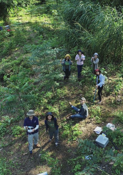
Automated Forest Restoration
These days, technologies are making restoration easier, from aerial surveys and monitoring to dropping seeds from drones. Learn more here.