Comparison of seedling detection and height measurement using 3D point cloud models from three software tools: applications in forest restoration
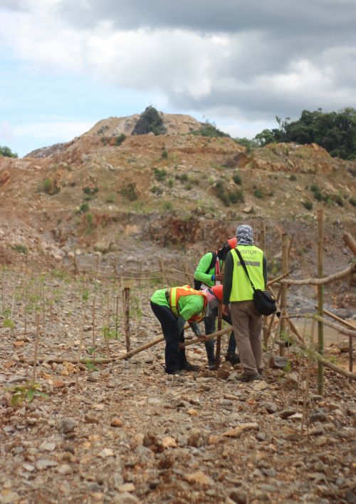


ABSTRACT: A challenge for forest restoration is monitoring success, particularly in terms of seedling survivorship. 3D-point-cloud models, generated from aerial images taken from unmanned aerial vehicles (UAVs), are useful for monitoring vegetation recovery. However, use of aerial images in the early stages of restoration is challenging due to small seedling size. Many photogrammetry software tools are available for creating 3D-models, but they differ in their performance. This research compared ease of use, seedling detection and accuracy of seedling height measurements using 3D-point-cloud models generated by 3 free versions of: Pix4Dmapper, DroneDeploy, and WebODM. The study site was a forest restoration plot on an open cast mine of the Siam Cement Group (SCG) Public Company Limited, Lampang, Thailand. The height of 178 planted seedlings was measured manually to provide ground-truthed data. On the same day, a UAV was used to automatically capture RGB images, which were processed using the three software tools with their default settings. The percent of seedlings detected and the accuracy of height measurements were compared among the three software packages. DroneDeploy detected 42% of the seedlings, followed by Pix4Dmapper (29%) and WebODM (16%). Commission error ("detecting" seedlings not there) was low DroneDeploy and Pix4Dmapper both 3% and WebODM (1%). Differences in seedling detection among the software packages may arise from differences in the algorithms and the default settings used by the software. UAV and ground data were well correlated by linear regression (R-squared > 85%). The pros and cons of each software package and their future applications are discussed.