UAV-derived forest degradation assessments for planning and monitoring forest ecosystem restoration: towards a forest degradation index
FORRU Contributors

ABSTRACT: Global initiatives such as the Bonn Challenge and the New York Declaration on Forests have prompted large-scale forest restoration projects to combat land degradation, preserve biodiversity, improve local livelihoods and mitigate climate change. However, national and regional achievements to fulfill the quantitative targets set by these initiatives have been met largely outside natural forest areas, often in the form of conventional tree plantations, whilst degradation and deforestation continue in natural forests without much restoration being applied. Forest restoration in recently deforested sites can been achieved by nurturing natural regenerants and facilitating seed dispersal. This can result in more rapid carbon sequestration and biodiversity recovery compared to conventional tree plantations. Furthermore, many projects have been criticized for not matching restoration interventions with degradation levels. These insufficiencies have increased restoration costs while decreasing their effectiveness. Initial degradation assessment and restoration monitoring are essential for planning and managing restoration, but current surveys, which extrapolate degradation levels from small sample plots, are labor-intensive, expensive and inefficient. Meanwhile, drones and imaging technologies have become readily available and affordable and can rapidly cover entire restoration sites. This study presents innovative techniques and tools using consumer-grade unmanned aerial vehicles (UAVs or drones) and imaging technologies, which offer a rapid and cost-effective way to collect data, enabling stakeholders to assess initial degradation levels, develop restoration plans, and monitor restoration progresses. Such data could be used to further develop a forest degradation index (FDI) for restoration sites. To test the applicability and reliability of UAV-derived RGB imagery, a pilot study was conducted in Tum Pha Thai National Park, Northern Thailand. RGB images were captured using a consumer grade quadcopter (DJI Phantom 4 Pro) with an onboard camera. The images were processed using the WebODM Lightening platform, generating a digital surface model, a digital terrain model and an orthophoto. An algorithm-based R package (ForestTools), and a deep learning based platform (Picterra) were used to detect forest attributes. The strengths and weaknesses of the two tools are discussed.
Related Advice
Rapid site assessment
The concept and methodology to determine the level of degradation, which is related to activities should be implemented and the intensity of the work required for the target...
Automated Forest Restoration
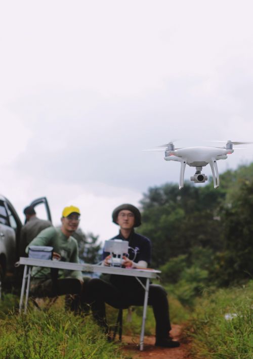
These days, technologies are making restoration easier, from aerial surveys and monitoring to dropping seeds from drones. Learn more here.
Restoration Strategies
To plant or not to plant? Active vs passive restoration strategies? Find out what is appropriate for your restoration site here.